San Juan Islands Nautical Chart / Map
Feature
- Two Sided
- Foldable
- Waterproof
Product Description
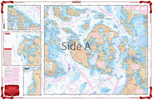
A terrific combination of 8 different charts. Covers the San Juans from Whidbey Island and Victoria north to Galiano Island, and Bellingham Bay. Blown up details for Henry Island and Roche Harbor, Fisherman Bay, Patos and Sucia Islands, Stuart and Johns Island, East Sound Friday Harbor, Anacortes and the Guemes Channel, Skagit Bay and the Swinomish Chanel, Deception Pass, Bellingham Bay, Jones, Crane and Wasp Islands and West Sound, Lopez Island and the San Juan Channel. Twelve different Insets are clearly explained with a key and letter system. Information from 8 different NOAA Charts: 18423, 18427, 18434, 18430, 18432, 18431, 18433, 18421. WGS84-World Mercator Datum. 25" x 38".
Product Detail
- ASIN: B00C34VCGC
- Item model number: LYSB00C34VCGC-ELECTRNCS
- Average Customer Review: Customer Reviews
Customers Who Viewed This Item Also Viewed


About Us

Free Shipping
If your order is $35 or more, you may qualify for free shipping. With free shipping, your order will be delivered 5-8 business days.

