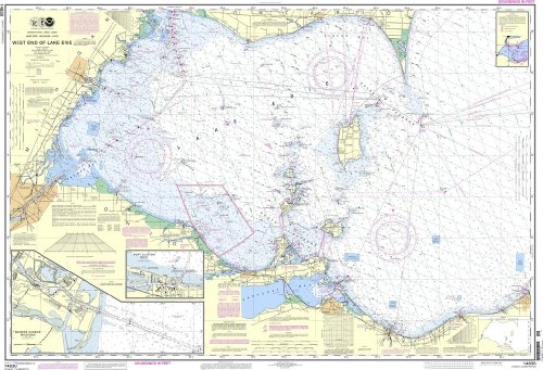
NOAA Chart 14830: West End of Lake Erie; Port Clinton Harbor; Monroe Harbor; Lorain to Detriot River; Vermilion
Feature
- OceanGrafix provides mariners with the most up-to-date, NOAA-approved nautical charts ever offered
- Printed on demand
- All Notice to Mariners corrections are applied to the chart when printed
- Meets U. S. and international carriage requirements for commercial vessels defined in SOLAS Chapter V Regulation 19.2.1.424
- U. S. Coast Guard approved
Product Description
The chart you are viewing is a NOAA standard nautical chart. Printed "on-demand," it contains all of the latest notice to mariner (NTM) updates as of the time of printing. The National Oceanic and Atmospheric Administration (NOAA) has partnered with OceanGrafix to provide commercial and recreational mariners with the most accurate nautical charts. These charts meet the definition of a nautical chart laid out in SOLAS Chapter V Regulation 2.2 and also meet the carriage requirements defined in SOLAS Chapter V Regulation 19.2.1.4
Product Detail
- ASIN: B00J8N9YBQ
- Item model number:
- Average Customer Review: Customer Reviews
Customers Who Viewed This Item Also Viewed


About Us

Free Shipping
If your order is $35 or more, you may qualify for free shipping. With free shipping, your order will be delivered 5-8 business days.

