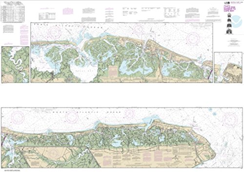
NOAA Chart 12316-Intracoastal Waterway Little Egg Harbor to Cape May; Atlantic City
- List Price:
$24.95 - Sale Price: $18.99
- Amount Saved: $5.96
- Availability: Usually ships in 1-2 business days
Feature
- Printed on heavy weight acid free paper.
- Printed on demand using the most up to date NOAA data and latest Notice to Mariners (NTMs) applied at time of print.
- Meets United States Coast Guard carriage requirements.
- Pre-production finishing for superior quality.
- Printed by East View Map Link. Map Scale: 1:40,000 . Map Size (inches): 41.5 x 58.72.
Product Description
East View Map Link (EVML), a certified NOAA and NGA print on demand printer; provides mariners with up-to-date National Oceanic and Atmospheric Administration (NOAA) approved nautical charts. Our Intracoastal Waterway Little Egg Harbor to Cape May; Atlantic City nautical chart (Map Index 12316) is printed using high resolution, heavy weight and acid free paper. All charts are printed with the latest Notice to Mariners (NTMs), and meet United States Coast Guard and international carriage requirements for commercial and recreational vessels. All NOAA nautical charts ship rolled, and are printed by East View Map Link, LLC.
Product Detail
- ASIN: B0128KY2V2
- Item model number:
- Average Customer Review: Customer Reviews
Customers Who Viewed This Item Also Viewed


New
More Details


About Us

Free Shipping
If your order is $35 or more, you may qualify for free shipping. With free shipping, your order will be delivered 5-8 business days.

