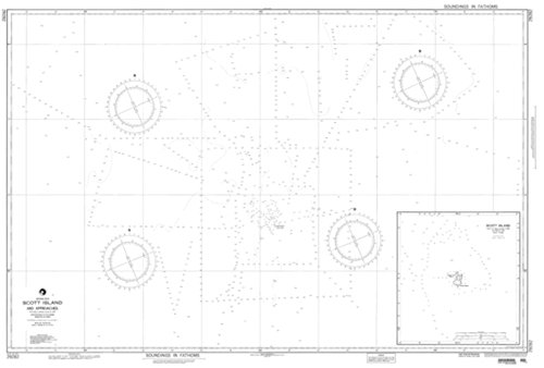
NGA Chart 29282-Scott Island And Approaches
Feature
- Printed on heavy weight acid free paper.
- Printed on demand using the latest files provided by NGA.
- NGA charts are historical and not updated with the latest notice to mariners (NTMs)
- NGA certified and vetted reseller.
- Printed by East View Map Link. Map Scale: 1:100,000. Map Size (inches): 52.5 x 35.5.
Product Description
East View Map Link (EVML), a certified NGA and NOAA print on demand printer; provides mariners with historical National Geospatial-Intelligence Agency POD approved nautical charts. Our Scott Island And Approaches nautical chart (Map Index 29282) is printed using high resolution, heavyweight and acid free paper. All NGA nautical charts ship rolled, and are printed by East View Map Link, LLC. All NGA nautical charts ship rolled, and are printed by East View Map Link, LLC.
Product Detail
- ASIN: B013ROR94K
- Item model number:
- Average Customer Review: Customer Reviews
Customers Who Viewed This Item Also Viewed


New
More Details
New
More Details
About Us

Free Shipping
If your order is $35 or more, you may qualify for free shipping. With free shipping, your order will be delivered 5-8 business days.

