Imray A233 A231 & A232 Printed on Double Sided Sheet Marine Nautical Chart
Feature
- Printed in color on treated, water-resistant paper
- Folded for efficient storage
- Includes protective plastic sleeve
- Length: 34.5 in (87.63 cm); Width: 25 in (63.5 cm); Height: 0.1 in (0.25 cm); Weight: 0.3 lb (0.25 cm)
Product Description
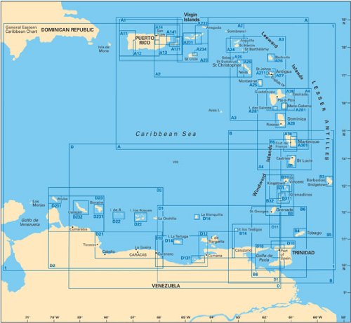
One side of this double-sided Imray-Iolaire waterproof chart of the Virgin Islands features the passage from St. Thomas to Virgin Gorda (A231 chart) and includes large-scale insets of Charlotte Amalie, Virgin Gorda Yacht Harbor, Roadtown Harbor, Sea Cow Bay and Nanny Cay Marina, and Cruz Bay. The other side features the passages from Tortola to Anegada (A232 chart) and includes large-scale insets of Gorda Sound, South Sound, Roadtown Harbor and approaches, and Virgin Gorda Yacht Harbor. This chart is printed in color and uses official surveys and notes based on local knowledge.
Product Detail
- Product Dimensions: 0.35 pounds
- Shipping Weight: 0.35 pounds
- ASIN: B000LGA4OU
- Item model number: A233
- Average Customer Review: Customer Reviews
Customers Who Viewed This Item Also Viewed

New
More Details


New
More Details
About Us

Free Shipping
If your order is $35 or more, you may qualify for free shipping. With free shipping, your order will be delivered 5-8 business days.

